A village around routes
Goodrich is more than the castle on its sandstone spur. The neighbourhood plan describes several settlement clusters: Goodrich Cruse beside routes towards Welsh Bicknor and the Walford ferry, Goodrich Cross on the Ross–Monmouth road, and another group around St Giles’s church. Roads and river crossings helped shape a dispersed community rather than a single compact centre. [8]
The parish’s history also needs careful boundaries. The plan records that detached areas at Glewstone and Pencraig were incorporated into neighbouring parishes during reorganisation in the 1970s. The old manor extended over a still larger area. Neither the manor nor the wider parish should be treated as interchangeable with the village. [8]
Defence and domestic life
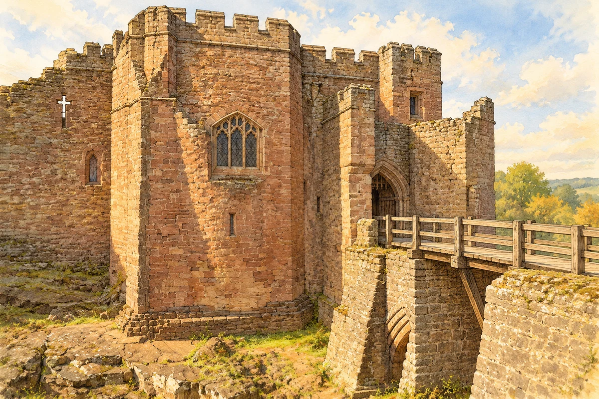
A castle existed here by about 1100. The surviving stone keep belongs to the twelfth century, while much of the surrounding fortress reflects rebuilding under William and Joan de Valence in the late thirteenth century. Grants of oak and records of royal workmen in the 1280s and 1290s help connect the masonry with an organised building campaign. [5]
The imposing walls protected a substantial household. New ranges provided halls and residential towers; the older keep became a prison. Joan’s household accounts record extended stays after William’s death in 1296. They give the ruin a domestic history alongside its military one: accommodation, provisioning and service were essential to its operation. [5]
Church and priory
St Giles’s has a thirteenth-century core and a fourteenth-century west tower and spire. Its medieval building was altered again in the nineteenth century. Fragments of fifteenth-century glass survive in the north aisle, while the east chancel window was made by Hardman around 1875. The interior therefore brings different periods of worship and repair into the same space. [6]
Below the castle, Flanesford Priory was founded by Richard Talbot in 1346 for Augustinian canons. After dissolution in 1537, its buildings eventually served agriculture. Herefordshire Libraries records their use as farm buildings until conversion to holiday accommodation in 1980. The surviving refectory range tells a story of repeated practical reuse. [9]
A Civil War stronghold
Goodrich changed hands during the Civil War. A Parliamentarian garrison withdrew in late 1643, and Henry Lingen established a Royalist base. The takeover brought violence outside the walls, including destruction of farm buildings at Flanesford. The castle’s military use affected the surrounding working landscape as well as its occupants. [4]
In March 1646 John Birch’s Parliamentarians raided the stables, taking horses and burning the buildings. Birch returned on 1 June for a sustained siege. Artillery severed the external water supply, and an enormous locally cast mortar, Roaring Meg, helped break the defences. Lingen surrendered on 31 July. Further deliberate damage made the castle indefensible by 1648. [4]
Visiting and conserving the ruin
The ruined castle acquired a new purpose in the eighteenth century as visitors explored the Wye valley in search of picturesque scenery. Boat travellers could stop here downstream from Ross. Railway access from 1873 brought another means of arrival. A place once organised around an aristocratic household became a destination for travellers. [3]
The Office of Works took responsibility in 1920, clearing vegetation and consolidating masonry. Repairs also affected the archaeological record: some remains were revealed, while other early work was concealed. Conservation and safer visitor access helped establish the monument seen today, rather than simply preserving an untouched Civil War ruin. [3]
 place