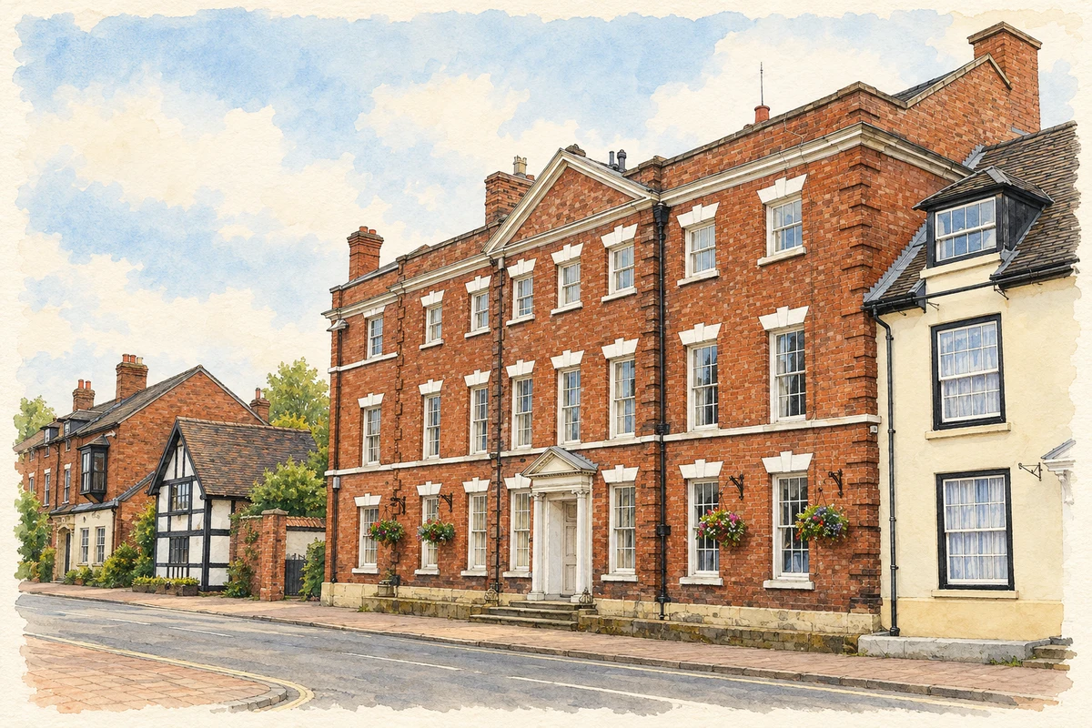
A chartered market, a surviving timber house and a hillside school reveal a town repeatedly reshaped around trade and local institutions.
Illustration · The Red House, Market Drayton
History & heritage
Place & story
A market held by an abbey
Henry III granted Combermere Abbey a Wednesday market and September fair in 1245. Trading households occupied long, narrow plots on the principal streets, linking Drayton’s livelihoods to its agricultural surroundings.[2]
Fire and rebuilding
Fire destroyed much of the timber-framed, thatched town in 1651. Later brick houses record rebuilding. The Buttercross shelter replaced an actual cross in 1823, giving trade a recognisable centre.[2]
Cotton’s House at 57 Shropshire Street preserves an earlier household’s architecture. Historic England dates it to about 1600, with subsequent alterations. A sandstone base supports the timber frame; brick and render later concealed parts of it. The narrow site obliged the house to stand at right angles to the street, with its entrance along the side.[3]
Inside, the building retains fireplaces, ceiling beams, old doors and oak floorboards. An oak staircase of about 1680 and later windows show that survival involved adaptation. The list entry cautiously suggests that the top floor may itself be an addition. The house is therefore evidence of changing domestic arrangements as well as of construction before the fire.[3]
Schoolrooms above Phoenix Bank
The former grammar school and schoolmaster’s house face the footpath towards St Mary’s Church, with another elevation overlooking Phoenix Bank. Historic England describes a largely mid-eighteenth-century brick complex, possibly incorporating sixteenth-century fabric. Its uneven height reflects the sloping ground: a schoolroom and attic on one side become a taller frontage on the other.[4]
The interior records how education occupied a complete household environment. The list entry identifies a former schoolroom, attic dormitories, a basement kitchen and a stone bust of Sir Rowland Hill, the school’s benefactor. These spaces bring teachers’ accommodation, boarders and classroom work into the same architectural story. The source gives conflicting foundation dates, so a precise year is omitted here.[4]
Moving goods beyond the market streets
The canal opened past Drayton in 1835. Railways to Stoke, Nantwich and Wellington followed in the 1860s, and the cattle market moved to Maer Lane near the station. Transport drew agricultural business away from the older centre.[2]
Sir Rowland Hill’s connection was as lord of the manor and school founder. The council identifies him as a London textile merchant and former mayor. The school’s surviving founder’s bust makes his benefaction tangible.[2][4]
These figures describe statistical neighbourhoods, which may cover part of a place or include neighbouring places.
Neighbourhood census area · 1971–2021
Shropshire 005
Population of the area containing the recorded point for Market Drayton, not the whole place. This area may cover part of the place or include neighbours.
Shropshire 005 — census population and harmonised historical estimates
Census year
Population
1971
7,423
1981
8,683
1991
9,682
2001
10,457
2011
11,816
2021
12,588
Sources and how to read this chart
Usual residents of the containing MSOA; this is local area context, not the population of the named settlement.. Boundary geography: 1 April 2022 (E02006018).
2011 and 2021 census counts harmonised by ONS to the same 1 April 2022 geography. Location matched to ONS 2021 MSOA polygons (full resolution, coastline clipped, V7). ONS exact-fit lookup marks this MSOA unchanged from 2011 (U); historical estimates use that same footprint.
1971–2011: Paul Norman harmonised historical estimates on 2011 MSOAs, rounded to whole residents (1971–1991 are modelled). 2021: ONS census count. The historical 2011 total can differ slightly from the ONS change-over-time 2011 total because of methodology and statistical disclosure controls. These are area estimates, not settlement totals.
County groups are browsing aids. Current administrative and historic areas are recorded separately.
Recorded names
Market Drayton· en · official
Nearby heritage
Explore recorded heritage in Market Drayton and the surrounding area. This selection is based on proximity to a recorded settlement point; it is not a complete inventory or evidence that a site lies within the settlement or belongs to its history.
Heritage locationsMarket Drayton & surrounding areaInteractive map loads when this area enters view. Source records are listed below.
Numbered markers match the source records below. Locations are recorded reference points, not site boundaries.
Illustration of The Red House, Market Drayton, adapted from The Red House, Market Drayton.jpg by Jonathan Hutchins. CC BY-SA 2.0. AI-assisted watercolour and fine ink adaptation; cream paper margins, simplified fine detail and removal of incidental street clutter.
 place