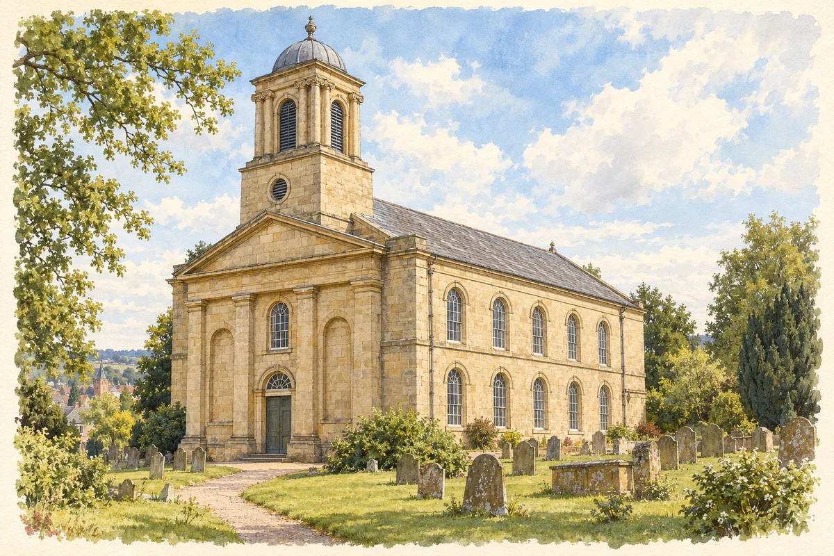
Wellington belongs to Shropshire’s older pattern of market towns. Its market charter dates to 1244, in Henry III’s reign. The town council describes its incorporation into the Telford conurbation in 1968, but the market and surrounding shopping streets remain a distinct centre. The chronology matters: Wellington brought an established commercial identity to the new urban area.[2]
Trade gains a railway
The nineteenth-century railway enlarged the town’s connections. The council’s conservation appraisal describes Wellington as a junction for Stafford, Crewe, Much Wenlock and the East Shropshire coalfield, alongside the Shrewsbury–Birmingham route. By 1882 the mapped sidings, turntable and engine shed occupied a substantial place in the town. Railways brought the infrastructure of handling and maintaining trains into the market settlement.[3]
Local businessmen formed a market company in 1856, acquired market rights and charters, and built a hall in Butchers Lane. The same period of urban improvement brought water supply, a gasworks on Tan Bank and, later, electricity. The public library opened in 1902. These were different kinds of provision, but together they show a trading town acquiring the services and institutions of modern urban life.[3]
Sunnycroft and the rewards of business
On Holyhead Road, Sunnycroft expressed another aspect of commercial society. The National Trust interprets this suburban villa as a middle-class attempt to reproduce the landed estate on a smaller scale. Brewer J. G. Wackrill built the original house in the late nineteenth century; Mary Jane Slaney enlarged it in 1899. Dining and billiard rooms made entertaining part of the house’s purpose.[4]
Its surviving fittings give this ambition a material form. A Maw & Co tiled floor leads towards the staircase hall, lit through painted glass. Gas lamps, radiators and fireplaces survive, while the household accumulated ordinary domestic objects as well as impressive furnishings. J. V. T. Lander bought the property in 1912, and it remained in his family until its bequest to the National Trust in 1997.[4]
A miniature estate under glass
The conservatory at Sunnycroft was made by R. Halliday & Co around 1900. Painted timber and glass rise above brick walls, with coloured glass and ornamental ironwork adding to the display. Inside, rockwork records beds once used for ferns; staging for pots stands on cast-iron supports. Historic England values the building as part of an unusually complete suburban estate. It preserves the infrastructure of cultivated leisure beside the house.[5]
Philip Larkin came to Wellington as its librarian in 1943. The local heritage project’s account describes an institution with outdated stock and weak lending arrangements, which he worked to improve. His reports to the library committee argued for attention to younger readers. This was a professional connection to a municipal service, as well as a formative stage in a poet’s career.[6]
Larkin lived in rented rooms and also wrote in the library between duties. Much of The North Ship and his novels Jill and A Girl in Winter was written during his Wellington years. The association joins a public institution to literary work, rather than making Wellington his birthplace or claiming that all three books were published while he lived here.[6]
Mary Jane Slaney: remaking a home
Mary Jane Slaney shaped the Sunnycroft visitors see today through the enlargement of 1899. Historic England identifies her as the widow of a wine and spirit merchant. Her additions included the entrance hall, dining room and billiard room; the conservatory appears to belong to the same campaign. The building is a record of her choices about domestic comfort, hospitality and display.[5]
Telford and Wrekin 011 — census population and harmonised historical estimates
Census year
Population
1971
5,418
1981
5,794
1991
6,032
2001
6,281
2011
6,734
2021
7,322
Sources and how to read this chart
Usual residents of the containing MSOA; this is local area context, not the population of the named settlement.. Boundary geography: 1 April 2022 (E02002938).
2011 and 2021 census counts harmonised by ONS to the same 1 April 2022 geography. Location matched to ONS 2021 MSOA polygons (full resolution, coastline clipped, V7). ONS exact-fit lookup marks this MSOA unchanged from 2011 (U); historical estimates use that same footprint.
1971–2011: Paul Norman harmonised historical estimates on 2011 MSOAs, rounded to whole residents (1971–1991 are modelled). 2021: ONS census count. The historical 2011 total can differ slightly from the ONS change-over-time 2011 total because of methodology and statistical disclosure controls. These are area estimates, not settlement totals.
County groups are browsing aids. Current administrative and historic areas are recorded separately.
Recorded names
Wellington· en · official
Nearby heritage
Explore recorded heritage in Wellington and the surrounding area. This selection is based on proximity to a recorded settlement point; it is not a complete inventory or evidence that a site lies within the settlement or belongs to its history.
Heritage locationsWellington & surrounding areaInteractive map loads when this area enters view. Source records are listed below.
Numbered markers match the source records below. Locations are recorded reference points, not site boundaries.
Original illustration of All Saints’ Church, Wellington by PlaceHistory. Researched sources are linked beneath the illustration. Original composition from inspected architectural facts; no source photograph copied or used as an image-edit input. Fine detail is interpretive, not a measured survey.
 place