Town

Brownhills

Coal transport shaped Brownhills’ growth; the canals, civic institutions and a community-chosen miner sculpture preserve different parts of its working history.

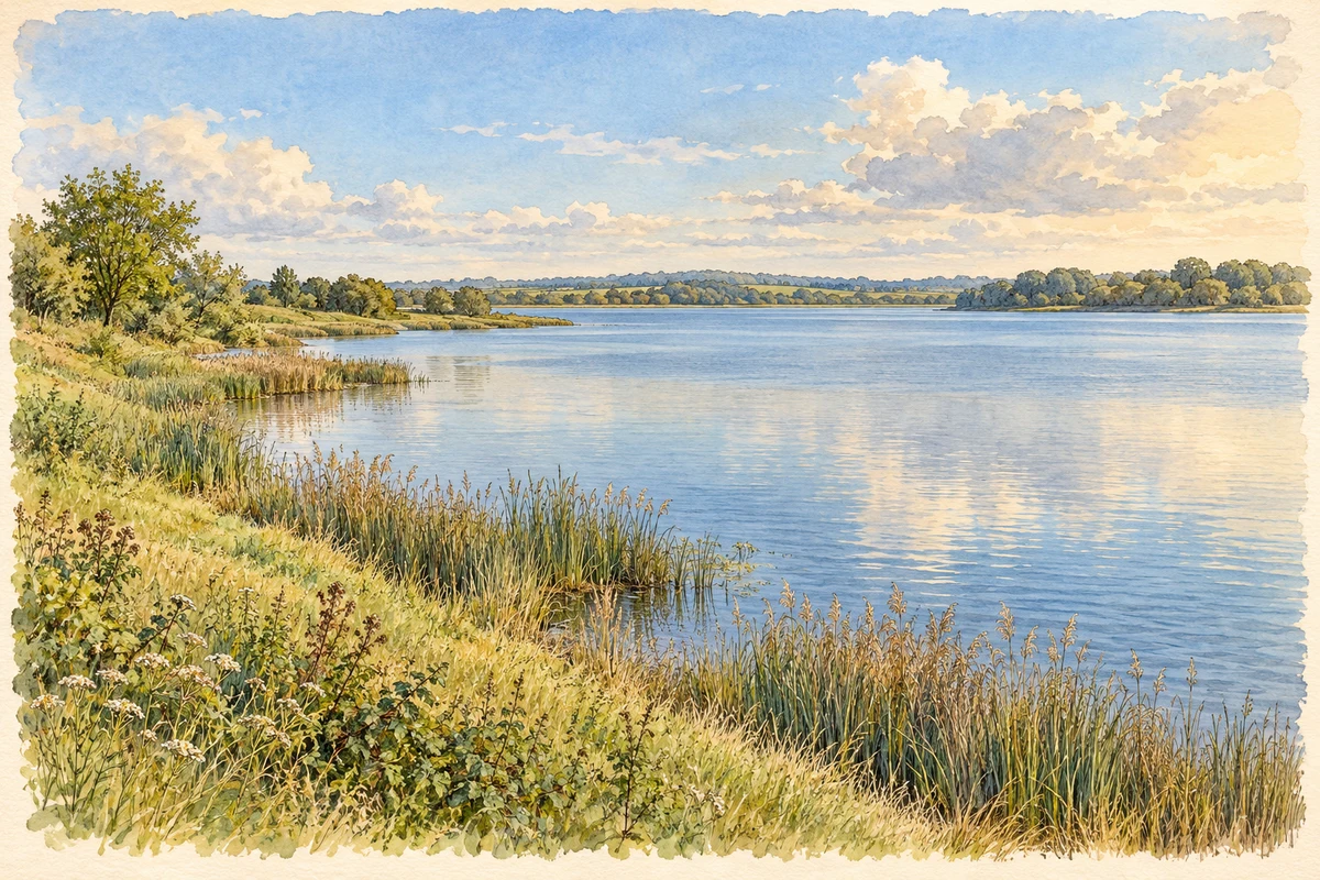
Watercolour and fine ink illustration of Chasewater reservoir near Brownhills
Original illustration · Chasewater reservoir near Brownhills
Original illustration; researched sources
Research sources

Original composition.

Staffordshire County Council: Chasewater country park; Walsall Archives: Brownhills history

History & heritage

Place & story

Miners and a canal network

Coal miners settled beside Pelsall Road, formerly Wolverhampton Lane, on Hussey family land. Tramways later linked workings to canal wharves. [2]

The canal was planned as an economic route from coal workings to Walsall and Wolverhampton. A supplementary Act in 1794 authorised extension to Brownhills and Huddlesford; the main line was completed in May 1797. The Canal & River Trust’s archive catalogue preserves the company’s committee book, agreements and plans, connecting this account of engineering to surviving business records. [3]

Canals needed a dependable water supply as well as boats and wharves. Shortages led to the development of Chasewater around the turn of the nineteenth century. The archive catalogue dates the reservoir to 1800, while Walsall’s town history uses 1799. Keeping the date approximate avoids making those differing accounts appear more certain than they are. [3] [2]

Transport could divide a community

The South Staffordshire Railway encouraged High Street trade in 1850. Another line cut through the mining settlement in 1858, pushing the community eastwards. [2]

Canal construction and coal extraction could also work against one another. The restoration trust describes the Wyrley and Essington as a contour canal affected by mining subsidence, requiring repeated repair. Industrial movement therefore depended on infrastructure made vulnerable by the industry it served. [4]

Public life and local government

A coffee house opened in 1854 with a library, reading room and entertainments; it became a working men’s club in 1913. A Board of Health followed in 1877 and Urban District Council in 1894. [2]

The cost and the afterlife of coal

The Grove Colliery explosion killed fourteen miners in 1930. Coal remained the principal industry into the 1950s. [2]

The canal landscape also contracted. In 1954 an abandonment Act closed the route between Ogley and Huddlesford. Subsequent road construction, infilling and missing bridges interrupted the former line. The Lichfield and Hatherton Canals Restoration Trust later worked to safeguard crossings, including provision beneath the M6 Toll. The surviving waterway is therefore one part of a larger, partly lost network. [4]

A miner chosen by the community

The Brownhills Miner emerged from the borough’s Gateways regeneration project, begun locally in 2004. Creative Factory’s first-hand account describes artist John McKenna and community artists consulting groups across the town. Mining repeatedly emerged as the subject residents wanted to remember. Designs were developed with a steering group and tested in further workshops. [5]

The sculpture was installed on 17 May 2006. The project account recalls research into details of the lamp and working cap before McKenna made the figure. Its significance is both commemorative and participatory: the town’s industrial history became the subject of a new public landmark through organised local discussion. [5]

Back to contents
A chronology

Timeline

Brownhills through time

  1. 1794 — A canal extension towards Brownhills and Huddlesford is authorised. [3]

  2. May 1797 — The canal company completes its main line. [3]

  3. 1877 — The Local Board of Health is formed. [2]

  4. 1930 — Fourteen miners die in the Grove Colliery explosion. [2]

  5. 1954 — Abandonment closes the canal between Ogley and Huddlesford. [4]

  6. 17 May 2006 — The Brownhills Miner is installed. [5]

Back to contents

Population over time

Built-up area · Settlement · Census 2021

Brownhills

21,240people · 2021

Census 2021 population of the named settlement, using ONS built-up area boundaries.

Published census counts.

Sources: ONS: Towns and cities, characteristics of built-up areas, Census 2021 (Table 1c)

View population figures
Brownhills — census population
Census yearPopulation
202121,240
Sources and how to read this chart

Usual residents on 21 March 2021; published ONS count rounded to the nearest 5.. Boundary geography: December 2022 (E63002598).

Census 2021 population of the named settlement, using ONS built-up area boundaries.

ONS Table 1c rounds counts to the nearest 5 and suppresses counts below 10. Matched by exact settlement name or individually reviewed district-qualified name, with its coordinate strictly inside that same official BUA boundary. The 2022 BUA geography changed methodology and cannot be directly compared with 2011 BUAs. Contains OS data © Crown copyright and database right 2026. Contains National Statistics data © Crown copyright and database right 2026.

Source: ONS: Towns and cities, characteristics of built-up areas, Census 2021 (Table 1c). Open Government Licence v3.0. Retrieved 2026-10-26. Source: ONS and Ordnance Survey: Built Up Areas December 2022 GB BGG. Open Government Licence v3.0. Retrieved 2026-10-26.

Neighbourhood census context

These figures describe statistical neighbourhoods, which may cover part of a place or include neighbouring places.

Neighbourhood census area · 1971–2021

Walsall 001

Population of the area containing the recorded point for Brownhills, not the whole place. This area may cover part of the place or include neighbours.

02k4k6k8k1971: 6,144 people19711981: 5,678 people19811991: 5,933 people19912001: 6,328 people20012011: 6,749 people20112021: 7,024 people2021

Includes harmonised historical census estimates.

Sources: ONS · Paul Norman

View population figures
Walsall 001 — census population and harmonised historical estimates
Census yearPopulation
19716,144
19815,678
19915,933
20016,328
20116,749
20217,024
Sources and how to read this chart

Usual residents of the containing MSOA; this is local area context, not the population of the named settlement.. Boundary geography: 1 April 2022 (E02002110).

2011 and 2021 census counts harmonised by ONS to the same 1 April 2022 geography. Location matched to ONS 2021 MSOA polygons (full resolution, coastline clipped, V7). ONS exact-fit lookup marks this MSOA unchanged from 2011 (U); historical estimates use that same footprint.

1971–2011: Paul Norman harmonised historical estimates on 2011 MSOAs, rounded to whole residents (1971–1991 are modelled). 2021: ONS census count. The historical 2011 total can differ slightly from the ONS change-over-time 2011 total because of methodology and statistical disclosure controls. These are area estimates, not settlement totals.

Source: ONS Census change over time: usual resident population, 2011 and 2021. Open Government Licence v3.0. Retrieved 2026-10-26. Source: ONS MSOA December 2021 boundaries EW BFC V7. Open Government Licence v3.0. Retrieved 2026-10-26. Source: Paul Norman — Area characteristics: Great Britain 1971 to 2011. Creative Commons Attribution 4.0. Retrieved 2026-10-26. Source: ONS MSOA 2011 to MSOA 2021 exact-fit lookup for England and Wales. Open Government Licence v3.0. Retrieved 2026-10-26.

Recorded locationBrownhills52.64545° N · 1.93064° WInteractive map loads when this area enters view.
Approximate recorded location · Geographic source

Geographic context

Place type
Town
Country / region
England · West Midlands
County group
West Midlands
Current administration
Walsall
Recorded coordinates
52.64545, -1.93064
OS Open Names ID
osgb4000000074550493

County groups are browsing aids. Current administrative and historic areas are recorded separately.

Recorded names

  • Brownhills · en · official

Nearby heritage

Distances are from the recorded place point. Proximity does not establish that a site lies within the place boundary or belongs to its history.

Sources & further reading

  1. OS Open Names October 2026 · Source licence.
  2. Brownhills in history · Gerald Reece / Walsall Council
  3. BW148: Company of Proprietors of the Wyrley and Essington Navigation · Canal & River Trust
  4. History of the Wyrley and Essington Canal · Lichfield and Hatherton Canals Restoration Trust
  5. Public Art and the Brownhills Miner · Creative Factory
  6. Original illustration of Chasewater reservoir near Brownhills by PlaceHistory. Researched sources are linked beneath the illustration. AI-assisted original watercolour and fine ink composition from inspected factual research; no source photograph was supplied as an image-edit input.

Geographic source retrieved 2026-10-26. History last researched 2026-10-27. How this page was prepared.