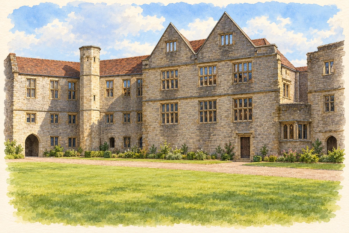
A castle above a market town
Dudley Castle occupies a limestone ridge above the medieval town. Its first motte-and-bailey form dates to around 1070, followed by repeated stone rebuilding. In the 1530s the domestic wing was rebuilt as a prestigious residence, with the Sharrington Range showing the influence of Renaissance architecture. The remains preserve changing expectations of a great household as well as the requirements of defence. [2]
Below the castle, High Street, Market Place and Castle Street form the spine of the older town, with lanes and entries branching away. Mining and ironworking encouraged seventeenth-century expansion, followed by much greater growth in the eighteenth and nineteenth centuries. Through those changes, the market remained a focus of activity. Dudley’s industrial story developed around an existing pattern of streets and exchange. [3]
A religious house in a public park
The ruins of St James’s Priory provide another medieval centre beside the castle. Founded in 1160 as a dependency of the Cluniac house at Much Wenlock, it was finally dissolved in 1539. The surviving walls stand within Priory Park, where strips in the turf mark parts that have disappeared. Reading these traces requires imagining a larger complex without treating the open parkland as its original setting. [4] [2]
From stronghold to ruin
The castle was held for the king during the Civil War and slighted on Parliament’s orders in 1649. Its domestic accommodation remained usable until a fire in 1750. Later excavation recovered pottery, glass, animal remains and other material that adds household life to the story told by the walls. Archaeological work in 1983–93 accompanied repairs, allowing the building and its buried evidence to be investigated together. [2]
The industrial landscape opens a window into deep time
At Wren’s Nest, limestone quarrying and mining revealed a much older landscape. The rock originated in a Silurian sea, and its fossil-rich beds became important to geological study. Roderick Murchison drew extensively on Dudley material in The Silurian System, published in 1839. Industry exposed evidence through which researchers could reconstruct an environment far older than the coalfield’s factories and canals. [5]
A slab displayed by Dudley Museums preserves a community of crinoids, or sea lilies, buried by volcanic ash about 428 million years ago. Museum staff and volunteers uncovered it in the 1970s. The object connects scientific discovery with local collecting and fieldwork: a former seabed became part of the town’s public collection through the efforts of people who recognised what the exposed rock contained. [6]
Extraction at Wren’s Nest ended in 1925, and the site became a National Nature Reserve in 1956. Former quarry faces now expose folds, ripple marks and fossil beds for study, while vegetation has returned to parts of the workings. The landscape records two kinds of history at once: ancient marine life and the human labour that made its remains accessible. [5]
Moving stone underground
The canals linked extraction with markets beyond Dudley. In 1775 Lord Dudley and Ward began a branch from the Birmingham Canal towards his Tipton colliery and limestone mines beneath Castle Hill. The longer Dudley Tunnel was reported open to traffic in October 1792. Further tunnels reached underground basins beneath Wren’s Nest in 1805 and 1815. Water transport became part of the mining system, carrying material away from workings hidden beneath the hills. [7]
Modern architecture on Castle Hill
Dudley Zoo opened on 6 May 1937, placing a new attraction around the ruined castle. Berthold Lubetkin’s Tecton practice designed buildings and animal enclosures for the sloping site. The commission joined a medieval monument to an ambitious experiment in modern architecture, making the hill a place to see both historic remains and new forms of construction. [8]
The designs also had to respond to the ground. A conservation study describes unexpected problems from unrecorded mines and tunnels, alongside the need to protect the castle’s setting. At the Bear Ravine, a proposed stepped circular arrangement became a level viewing platform with a reduced curved plan. The built landscape therefore records engineering adjustments as well as architectural ideas. [9]
 place