A market at the crossing
Upton’s early economy was tied to movement across and along the Severn. Worcestershire Archaeology records a ferry in 1307–08 and fishing barriers by 1377. By 1416 the settlement had permission to hold a market, and its medieval layout was planned along the High Street. The river supported crossings, fishing and exchange together; the town developed around those connected activities. [4]
The Tudor House Museum describes Upton as an inland port where river-borne goods continued overland towards Hereford and Wales. It later served surrounding villages through a police station, court, doctors and fire brigade, becoming an administrative centre when the rural district was created in 1894. Transport and local services gave it roles beyond its own households. [2]
Bridges and a railway alter the journey
A bridge arch failed in the floods of 1852. Its replacement in 1854 used wrought-iron sections on stone piers, with a retractable portion to let tall vessels through. That arrangement was slow; a swivelling section introduced in 1884 reduced the interruption. Crossing the river by road had to accommodate people still using it as a navigable waterway. [2]
The railway opened in 1864, linking Upton with the Tewkesbury and Malvern route. Passenger services ended in 1961 and freight in 1963. Part of the former track bed became a footpath, leaving a route through the landscape after the trains had gone. [2]
A workshop household becomes a museum
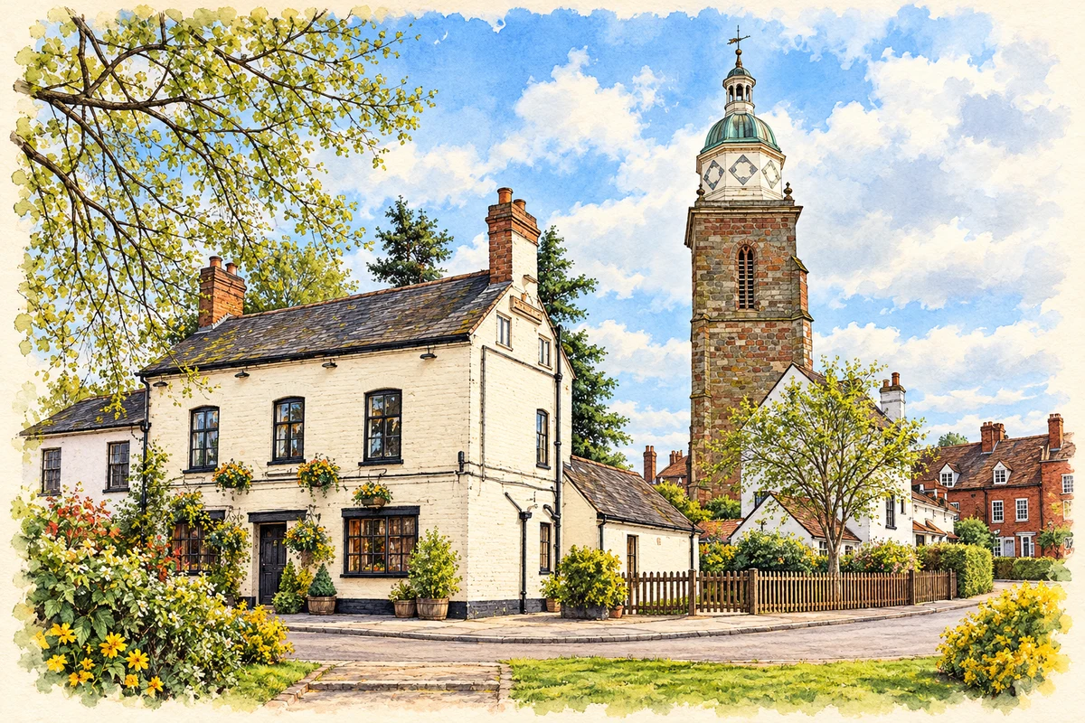
The Tudor House Museum occupies cottages which its building history dates to the early seventeenth century. The 1841 tithe records show three dwellings with yards and outbuildings. Robert Johnson, a cordwainer or shoemaker, was the principal occupant and remained in trade there until at least 1856. A laundress and plumber also appear among the inhabitants. These were premises for making and services as well as homes. [3]
During the later nineteenth century two cottages were combined and a malthouse added behind them. Deterioration eventually led the council to prohibit habitation in 1972. Conversion for a restaurant then substantially altered the buildings before Lavender Beard bought the property in 1993 and established the museum. Its rooms embody successive adaptations; their present appearance is the outcome of repair and reuse. [3]
A parish landmark acquires a new purpose
The Pepperpot is the surviving tower of the former parish church. Historic England dates its stone fabric to the fourteenth century and the replacement of the spire by Anthony Keck’s timber cupola to 1769. The rest of the church was demolished in 1937. The tower’s distinctive silhouette therefore combines medieval masonry with a much later roof. [5]
The remaining tower houses the Heritage Centre, alongside Tourist Information. A district-council restoration account describes paint removal, repointing and work to stabilise iron features. The former churchyard is a garden tended by Upton in Bloom. A place once organised around parish worship now provides a setting for public history, visitor information and voluntary care. [6]
Keeping the river visible while holding floods back
In July 2007 flooding cut the town’s road approaches. Parliamentary evidence explains why temporary barriers did not arrive in time: surface water had blocked the roads before the main river rose. Storing and erecting such large defences also posed a difficult choice for a waterfront town, because barriers obstructed the very river frontage on which businesses depended. [8]
Permanent schemes at New Street and Waterside followed in 2011–12; the Waterside section opened in July 2012. Defra’s later evaluation found that the scheme had protected properties during subsequent floods and required fewer staff than temporary barriers. It also recorded benefits beyond protection, including an embankment used as seating around the playing field. Flood engineering became part of the town’s public spaces as well as its emergency arrangements. [7]
 place