 place
Shropshire
Cloth routes through Shrewsbury and Oswestry, the authority of Ludlow Castle and the works of Ironbridge Gorge connect Shropshire's towns with a varied landscape.
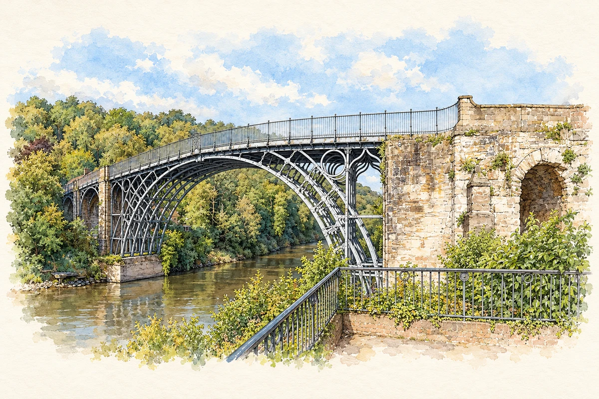
Illustration credit
Illustration of The Iron Bridge over the River Severn, adapted from Ironbridge 2014.jpg by Colin. CC BY-SA 4.0. AI-assisted watercolour and fine ink adaptation; cream paper margins, simplified fine detail and removal of incidental street clutter.

A history of Shropshire
Shropshire and its two council areas
This county guide includes Telford and Wrekin as well as the Shropshire Council area. They are separate local authorities. Telford and Wrekin became a unitary authority in 1998; its borough includes Telford New Town, Newport and the Ironbridge Gorge. The 2008 structural-change order established single-tier government for the remaining Shropshire area from April 2009, replacing five district councils. Historical references to Shropshire, Salop or the Marches should therefore be read in their own period, rather than as descriptions of one unchanging modern council boundary. [2] [3]
Hills with different histories
The Shropshire Hills form a transition between the lowland Midlands and the Welsh uplands. They are a collection of contrasting landscapes: the Long Mynd's dissected plateau, the rocky Stiperstones, the wooded scarp of Wenlock Edge, the quarried Clee Hills and the enclosed hills of Clun Forest. Their different rocks influence soils, land use and mineral working. A journey across them can therefore reveal several kinds of countryside within a relatively compact area. [4]
That landscape also helped shape geological science. Roderick Murchison and Charles Lapworth worked in the Shropshire Hills, and local names including Wenlock and Ludlow became part of the vocabulary used to describe rocks elsewhere. The National Landscape's account connects geology with working land: heath and rough grassland occupy some harder rocks, while soils in the Clee Hills support pastoral farming. The countryside's history includes both scientific observation and the practical use of its ground. [4]
Cloth routes between Wales and England
Shrewsbury's history opens westwards as well as eastwards. Its drapers dealt in woollen cloth, buying at Oswestry's weekly market before the official cloth-trading centre moved to Shrewsbury in 1620. Cloth was finished by shearmen and carried by packhorse to London's Blackwell Hall, from where merchants sent it overseas. This was a commercial network linking Welsh producers, Shropshire towns and international markets, rather than an economy confined within the county. [5]
The traders' organisation left social and architectural traces. Drapers appear in Shrewsbury's merchant rolls in 1204; the company founded almshouses beside St Mary's in 1444 and received a royal charter in 1462. Its prosperity brought political influence as well as town houses. The company dates the decline of its Welsh cloth trade to the eighteenth century. Its retained hall and almshouses preserve a different legacy from the transactions that first supported them. [5]
Ludlow and the government of the border
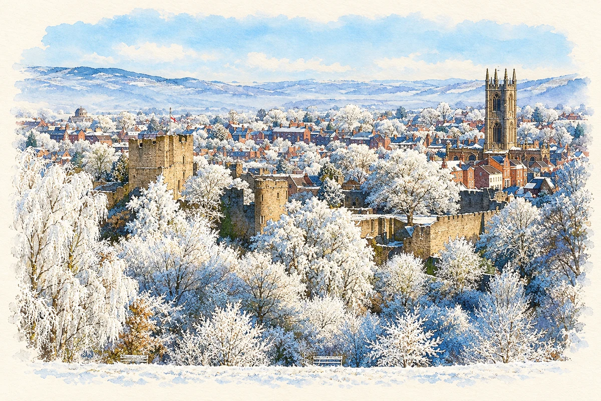
Ludlow Castle stands above the valleys of the Teme and Corve, with the town to its south and east. Probably founded around 1075, it became a residence and administrative centre as well as a stronghold. Its buildings were repeatedly altered, including the conversion of its gate tower into a keep in the early twelfth century. The castle's relationship with its town offers a useful comparison with the trading institutions of Shrewsbury. [6]
Ludlow later exercised authority across a much wider border region. The Council in the Marches was established there for Edward IV's son in 1473 and re-established under Henry VII with Prince Arthur in 1493. From 1534 its statutory powers included judicial supervision in Wales and the Marches. The castle's political importance thus reached beyond the limits of the county. After the council's dissolution in 1689 the buildings were abandoned and materials were removed for reuse in the town. [6]
An industrial landscape along the Severn
Ironbridge Gorge tells its story through a connected landscape of mineral extraction, manufacture and transport. UNESCO's account identifies mines, foundries, factories, workshops, warehouses and housing within the Severn valley and its tributary valleys. At Coalbrookdale, Abraham Darby developed coke-fuelled iron smelting in 1709. The Iron Bridge followed in 1779. Neither achievement stood alone: workers, raw materials and routes for moving goods were essential parts of the same industrial system. [7]
The surviving sites show how varied that system was. Jackfield combined navigation, coal mining, clay production and decorative tile manufacture; Coalport became associated with china. The Hay Inclined Plane connected canals at different levels, linking the Shropshire Canal to the Coalport Canal and onward to the Severn. Reading these places together gives the bridge a setting in production and everyday life, rather than treating it simply as an isolated engineering monument. [7]
Shrewsbury's factory experiment
Industrial innovation also reached Shrewsbury. Work on Ditherington Flax Mill began in 1796 and production started in 1797, processing flax into linen yarn and thread. The nearby Shrewsbury Canal promised coal and water for the works. Charles Bage's spinning mill used iron and brick in place of exposed structural timber in its working areas, an important experiment in resistance to fire. Converted to a maltings in 1897–98, the building records changing uses as well as an early advance in factory construction. [8]
Places and their stories
A few of the 35 researched histories in this county.
 Town
Shrewsbury
Illustration credit
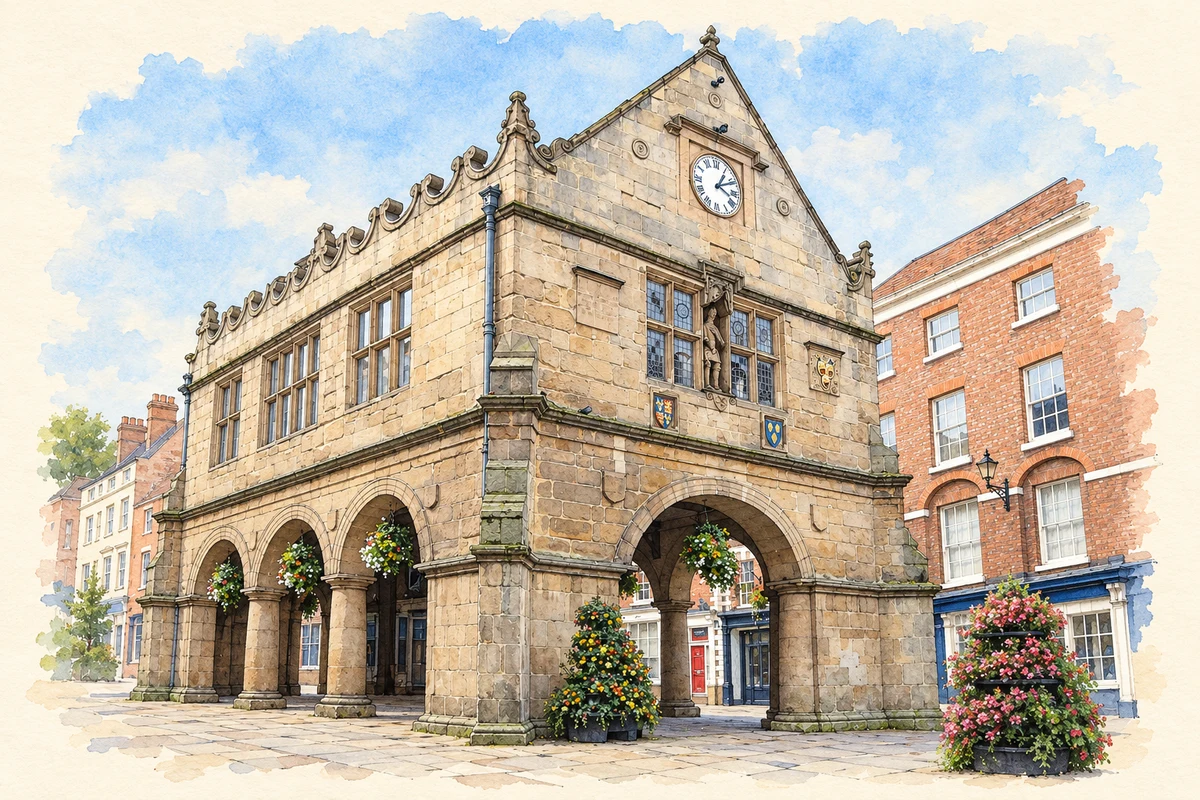
Illustration of The Old Market Hall, Shrewsbury, adapted from Shrewsbury Market Hall 06.JPG by Richard Symonds. CC BY-SA 3.0. AI-assisted watercolour and fine ink adaptation; cream paper margins, simplified fine detail and removal of incidental street clutter.
 Town
Ludlow
Illustration credit
Illustration of Ludlow townscape in snow, adapted from A frosty Ludlow.jpg by Shropshire&TelfordTSB. CC BY 2.0. AI-assisted watercolour and fine ink adaptation; cream paper margins, simplified fine detail and removal of incidental street clutter.
- Suburban area
Ironbridge
Illustration credit
Illustration of The Iron Bridge over the River Severn, adapted from Ironbridge 2014.jpg by Colin. CC BY-SA 4.0. AI-assisted watercolour and fine ink adaptation; cream paper margins, simplified fine detail and removal of incidental street clutter.
 Town
Much Wenlock
Illustration credit
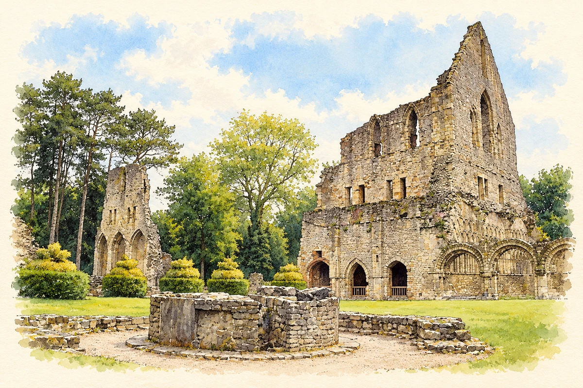
Illustration of Wenlock Priory, adapted from Wenlock Priory, Much Wenlock, Shropshire by Robert Edwards. CC BY-SA 2.0. AI-assisted watercolour and fine ink adaptation; simplified fine detail and removal of incidental clutter.
 Town
Oswestry
Illustration credit
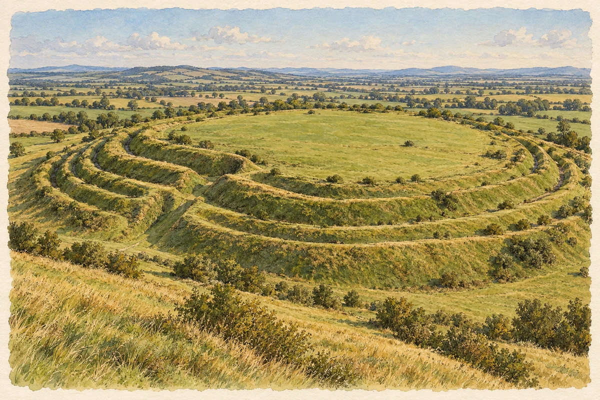
Original illustration of Old Oswestry hillfort by PlaceHistory. AI-assisted original composition from documentary research; no photograph used as image input.
Researched interpretation; fine detail and surroundings simplified. English Heritage: description of Old Oswestry; English Heritage: history of Old Oswestry
 Town
Bridgnorth
Illustration credit
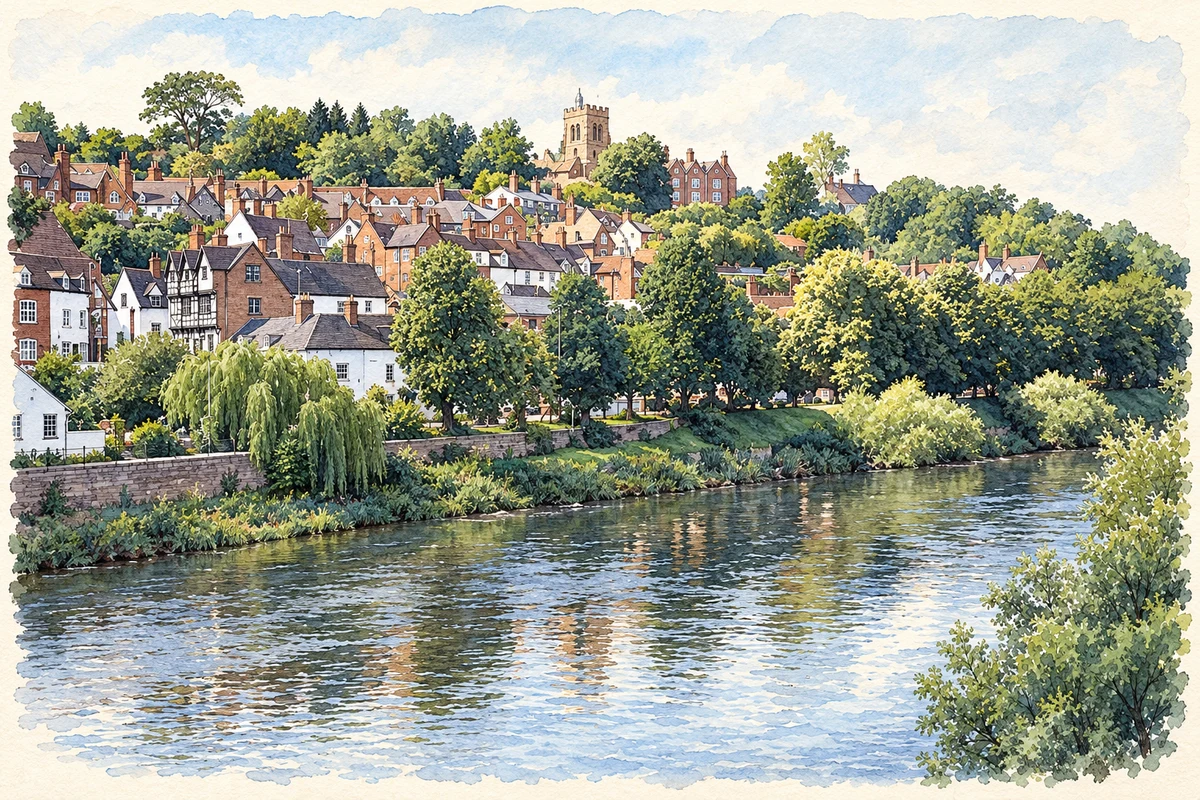
Illustration of Bridgnorth High Town, adapted from High Town, Bridgnorth.jpg by Pam Brophy. CC BY-SA 2.0. AI-assisted watercolour and fine ink adaptation; cream paper margins, simplified fine detail and removal of incidental street clutter.


Explore the area
This map shows the county browsing area used by PlaceHistory. Historic county boundaries and present-day councils can differ.
All places in Shropshire
1,096 places. Entries labelled “Local history” have a researched account; directory entries provide maps and geographic records.
Showing up to 50 places, ordered by name.
- Hamlet
Abbey Green
Directory entry - Hamlet
Abcott
Directory entry - Hamlet
Abdon
Directory entry - Village
Ackleton
Directory entry - Hamlet
Acton
Directory entry - Village
Acton Burnell
Directory entry - Hamlet
Acton Pigott
Directory entry - Hamlet
Acton Reynald
Directory entry - Hamlet
Acton Round
Directory entry - Hamlet
Acton Scott
Directory entry - Village
Adderley
Directory entry - Hamlet
Adeney
Directory entry - Suburban area
Admaston
Directory entry - Village
Alberbury
Directory entry - Hamlet
Albrighton
Directory entry - Village
Albrighton
Local history - Hamlet
Alcaston
Directory entry - Hamlet
Alderton
Directory entry - Hamlet
Aldon
Directory entry - Hamlet
Alkington
Directory entry - Village
All Stretton
Directory entry - Village
Allscott
Directory entry - Other settlement
Allscott
Directory entry - Village
Alveley
Local history - Hamlet
Anchor
Directory entry - Village
Annscroft
Directory entry - Suburban area
Aqueduct
Directory entry - Hamlet
Argoed
Directory entry - Hamlet
Argoed
Directory entry - Suburban area
Arleston
Directory entry - Hamlet
Arscott
Directory entry - Village
Ash Magna
Directory entry - Hamlet
Ash Parva
Directory entry - Suburban area
Ashbrook
Directory entry - Hamlet
Ashfields
Directory entry - Hamlet
Ashford Bowdler
Directory entry - Village
Ashford Carbonell
Directory entry - Village
Asterley
Directory entry - Hamlet
Asterton
Directory entry - Village
Astley
Directory entry - Village
Astley Abbotts
Directory entry - Hamlet
Aston
Directory entry - Village
Aston
Directory entry - Hamlet
Aston
Directory entry - Hamlet
Aston Botterell
Directory entry - Hamlet
Aston Eyre
Directory entry - Village
Aston Munslow
Directory entry - Village
Aston on Clun
Directory entry - Hamlet
Aston Pigott
Directory entry - Hamlet
Aston Rogers
Directory entry
Sources & further reading
- The Shropshire (Structural Change) Order 2008, Part 2 · UK Government
- Statement of Accounts 2018/19, narrative report p4 · Telford & Wrekin Council
- Hills, Landform and Geology · Shropshire Hills National Landscape Team
- Our History · Shrewsbury Drapers Company
- Ludlow Castle: list entry1004778 · Historic England
- Ironbridge Gorge · UNESCO World Heritage Centre
- Shrewsbury Flaxmill Maltings: Spinning Mill, list entry1270576 · Historic England
- ONS December 2025 administrative boundaries
Last researched 2026-10-27. How we research our histories.