 place
Worcestershire
Worcestershire’s towns connect brine springs, canal engineering, porcelain and carpets with the contrasting history of Malvern’s water cure.
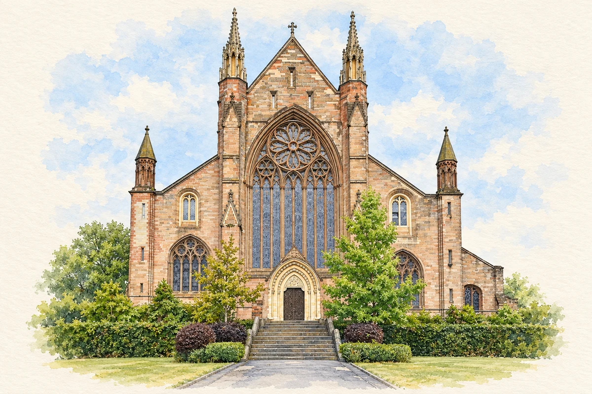
Illustration credit
Illustration of Worcester Cathedral, adapted from Worcester Cathedral west front.jpg by Kognos. CC BY-SA 4.0. AI-assisted watercolour and fine ink adaptation; cream paper margins, simplified fine detail and removal of incidental street clutter.

A history of Worcestershire
An old county and changing government
Worcestershire’s identity has outlasted repeated changes in local government. Its modern administrative history includes the creation of Hereford and Worcester in 1974, followed by the restoration of a separate Worcestershire county council in 1998. The latter settlement retained six district councils, with changes in the Malvern Hills area where the boundary with the new Herefordshire authority was drawn. These arrangements belong to administrative history; the older county and its cultural associations are not identical to every later council boundary. [2]
The six district areas are Bromsgrove, Redditch, Wyre Forest, Worcester, Malvern Hills and Wychavon. A district name is a starting point for geography rather than a substitute for the individual histories within it. The council reorganisation document that describes these arrangements is a proposal about future government, not evidence that all its proposed changes have happened. This introduction uses the county’s towns and surviving material evidence to explore longer connections between resources, transport and work. [2]
Droitwich: an industry beneath the streets
Droitwich’s brine springs supported salt production from at least the Iron Age. The scheduled archaeological remains follow the River Salwarpe and include wells, brine tanks, hearths, drying kilns and water-management structures. Waterlogged ground and deep industrial deposits helped preserve wooden objects and other organic material. Much of the evidence is buried: the history of this industry is not confined to prominent buildings that can still be seen above ground. [7]
Salt making changed in fuel, machinery and scale over many centuries. Iron pans and coal were in use by the sixteenth and seventeenth centuries. Later factories beside the Droitwich Barge Canal used pumps and iron pipes to move brine, while boats carried the finished product. Historic England records a nineteenth-century concentration of the industry under John Corbett, who transferred much production to Stoke Prior and encouraged Droitwich’s development as a spa. Industrial and resort histories therefore overlap here. [7]
Worcester: porcelain and commercial networks
Worcester porcelain began through experiment and investment. Around 1750 John Wall and the apothecary William Davis investigated a porcelain-type material, then obtained backing from local businessmen. A factory was established at Warmstry House beside the Severn in 1751. The Museum of Royal Worcester cautions that the precise sequence of the earliest experiments is difficult to reconstruct; the securely documented company foundation provides a firmer point in the story. [3]
The purchase of Benjamin Lund’s Bristol business in 1752 brought technical expertise, and a licence to mine Cornish soapstone secured a crucial material. Early Worcester production centred on useful wares, especially tea services, sold through Worcester and London outlets. Decoration drew on Chinese, Japanese, German and French examples. The industry was locally rooted but depended on skills, materials, commercial contacts and fashions extending well beyond Worcestershire. [3]
Canals linking countryside and factories
The Worcester & Birmingham Canal was intended to shorten the link between Birmingham and the Severn. Authorised in 1791, it opened throughout in 1815 after slow construction. Financial constraints meant that part of a route initially planned for wide boats was completed for narrow boats. Water supply and the management of connections with other canals also caused difficulties. Its physical form records practical compromises as well as engineering ambition. [4]
The canal carried coal to Worcester industries and salt from Stoke Prior. Railway competition reduced business from 1841, and the waterway passed through financial crisis before its purchase by the Sharpness New Docks Company in 1874. At Tardebigge, thirty locks in a little over two miles demonstrate the work required to overcome changes of level. The route places rural landscapes in a commercial history shared with factories, gasworks and distant markets. [4]
Kidderminster and Malvern: contrasting livelihoods
Kidderminster’s carpet industry supplied a different set of skills and products. For more than a century it was the town’s principal employer. As the industry contracted after the boom years of the 1960s, the Carpet Museum Trust collected machinery, company papers, designs and samples. Founded in 1981, it eventually opened the Museum of Carpet in the former Stour Vale Mill in 2012. The preserved evidence includes business records and changing designs as well as the machines themselves. [5]
At Malvern, water supported a service economy as well as a local reputation. James Wilson and James Gully established water-cure practices in 1842, attracting wealthy visitors and stimulating bottled-water sales. Treatments, hotels and related work connected the springs to the town’s growth; donkey rides on the hills provided work particularly for women and children. The cure declined in the later nineteenth century. Malvern and Kidderminster make complementary starting points for a county shaped by both manufacture and the sale of landscape, treatment and hospitality. [6] [5]
Places and their stories
A few of the 15 researched histories in this county.
- City
Worcester
Illustration credit
Illustration of Worcester Cathedral, adapted from Worcester Cathedral west front.jpg by Kognos. CC BY-SA 4.0. AI-assisted watercolour and fine ink adaptation; cream paper margins, simplified fine detail and removal of incidental street clutter.
 Town
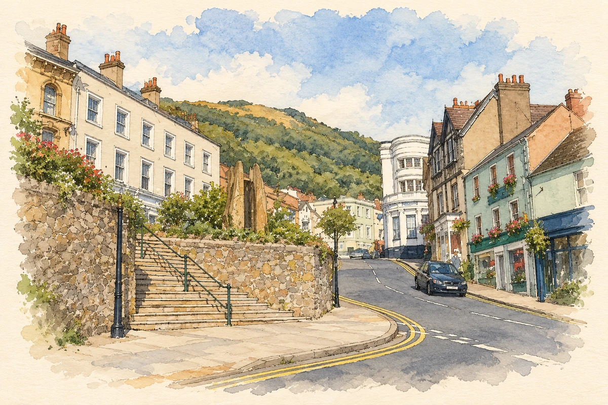
Great Malvern
Illustration credit
Illustration of Church Street, Great Malvern, with Elgar statue and Enigma Fountain, adapted from The top of Church Street. - geograph.org.uk - 56973.jpg by Bob Embleton. CC BY-SA 2.0. AI-assisted watercolour and fine ink adaptation; cream paper margins, simplified fine detail and removal of incidental street clutter.
 Town
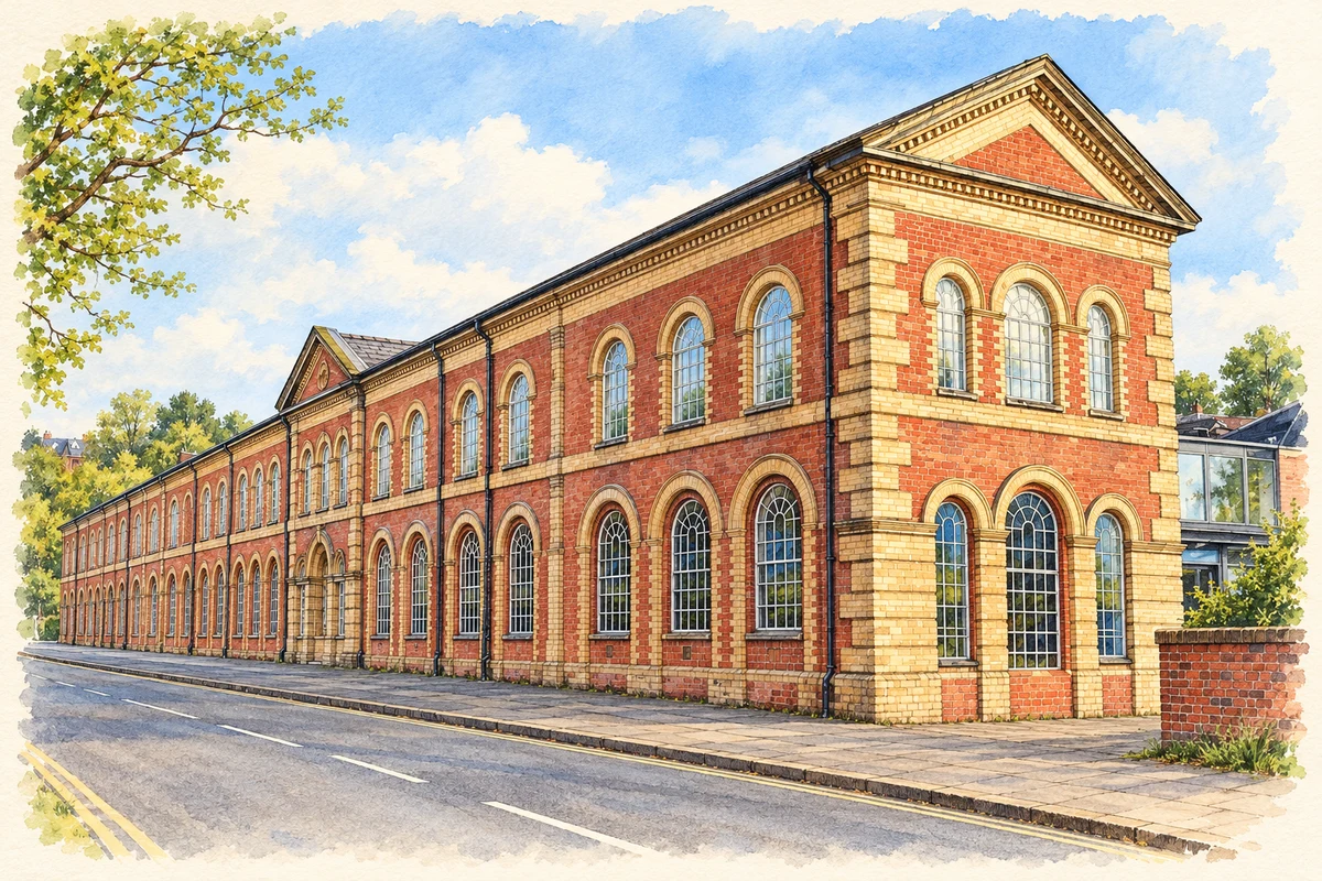
Kidderminster
Illustration credit
Illustration of Stour Vale Mill, Kidderminster, adapted from Kidderminster Museum of Carpet by Philip Halling. CC BY-SA 2.0. AI-assisted watercolour and fine ink adaptation; cream paper margins, simplified fine detail and removal of incidental street clutter.
 Town
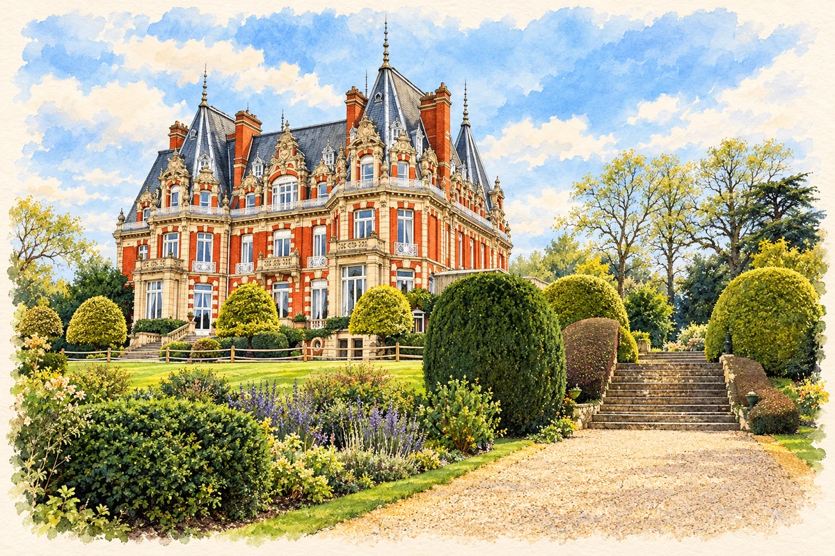
Droitwich Spa
Illustration credit
Illustration of Chateau Impney, near Droitwich Spa, adapted from Chateau Impney by Philip Halling. CC BY-SA 2.0. AI-assisted watercolour and fine ink adaptation; cream paper margins, simplified fine detail and removal of incidental street clutter.
 Town
Bewdley
Illustration credit
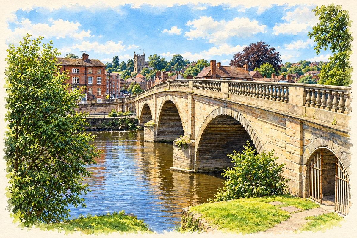
Illustration of Bewdley Bridge over the Severn, adapted from Bewdley Bridge by Philip Pankhurst. CC BY-SA 2.0. AI-assisted watercolour and fine ink adaptation; cream paper margins, simplified fine detail and removal of incidental street clutter.
 Town
Evesham
Illustration credit
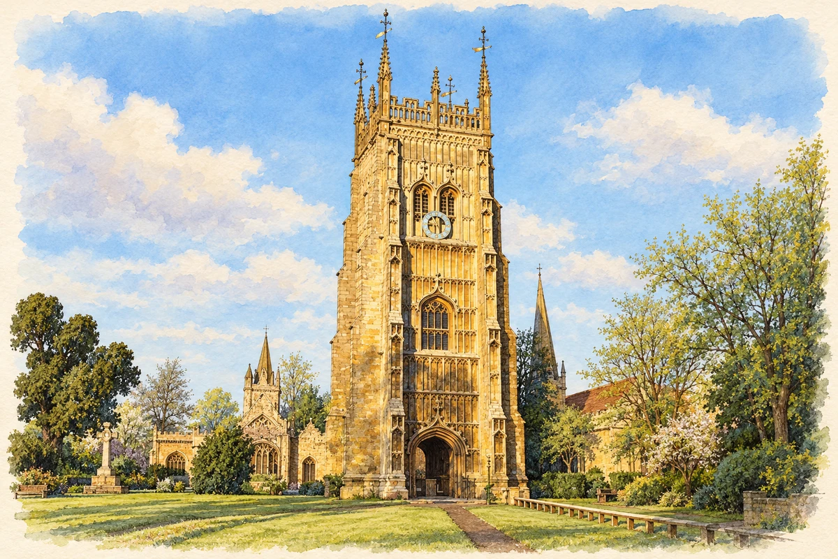
Illustration of Evesham Abbey Bell Tower, adapted from The tower of Evesham Abbey by Philip Halling. CC BY-SA 2.0. AI-assisted watercolour and fine ink adaptation; cream paper margins, simplified fine detail and removal of incidental street clutter.

Explore the area
This map shows the county browsing area used by PlaceHistory. Historic county boundaries and present-day councils can differ.
All places in Worcestershire
676 places. Entries labelled “Local history” have a researched account; directory entries provide maps and geographic records.
Showing up to 50 places, ordered by name.
- Village
Upton Warren
Directory entry - Hamlet
Vigo
Directory entry - Village
Wadborough
Directory entry - Hamlet
Walcot
Directory entry - Suburban area
Walkwood
Directory entry - Hamlet
Walton Pool
Directory entry - Village
Waresley
Directory entry - Suburban area
Warndon
Directory entry - Suburban area
Washford
Directory entry - Village
Weatheroak Hill
Directory entry - Suburban area
Webheath
Directory entry - Village
Welland
Directory entry - Hamlet
Welland Stone
Directory entry - Suburban area
West End
Directory entry - Suburban area
West Hagley
Directory entry - Suburban area
West Malvern
Directory entry - Suburban area
Westacre
Directory entry - Suburban area
Westlands
Directory entry - Village
Westmancote
Directory entry - Hamlet
White End
Directory entry - Village
White Ladies Aston
Directory entry - Hamlet
Whiteleaved Oak
Directory entry - Village
Whittington
Directory entry - Village
Wichenford
Directory entry - Village
Wick
Directory entry - Village
Wickhamford
Directory entry - Village
Wilden
Directory entry - Village
Wildmoor
Directory entry - Hamlet
Willow Green
Directory entry - Village
Windmill Hill
Directory entry - Hamlet
Winterfold
Directory entry - Suburban area
Winyates
Directory entry - Suburban area
Winyates Green
Directory entry - Suburban area
Witton
Directory entry - Village
Wolverley
Directory entry - Other settlement
Woodcote Green
Directory entry - Other settlement
Woodgate
Directory entry - Hamlet
Woodmancote
Directory entry - Suburban area
Woodrow
Directory entry - Hamlet
Woodrow
Directory entry - City
Worcester
Local history - Hamlet
Worlds End
Directory entry - Hamlet
Worles Common
Directory entry - Hamlet
Worms Ash
Directory entry - Suburban area
Wribbenhall
Directory entry - Village
Wychbold
Directory entry - Village
Wyre Piddle
Directory entry - Village
Wythall
Directory entry - Hamlet
Yarhampton Cross
Directory entry - Hamlet
Yieldingtree
Directory entry
Sources & further reading
- One Worcestershire, local government history, page 18 · Wyre Forest District Council
- Dr Wall and the first factory · Museum of Royal Worcester
- History of the Worcester & Birmingham Canal · Canal & River Trust
- Our History · Museum of Carpet
- Natural Spring Water, Spas and Cures · Malvern Museum of Local History
- Multi-period salt production remains in Droitwich, 1020256 · Historic England
- ONS December 2025 administrative boundaries
Last researched 2026-10-27. How we research our histories.